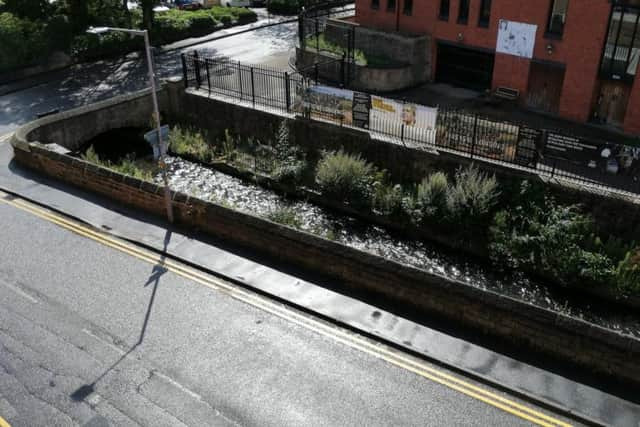
'Flooding possible' on River Maun in Mansfield as heavy rain is forecast


The Met Office has predicted strong winds, rainfall and the potential for thunderstorms on Saturday, August 10, and the river's water level could rise as a result.
A government flood information service has said "flooding of roads and farmland is possible" today (August 9) and tomorrow (Saturday), and that areas most at risk are "low-lying" areas in Mansfield, Sherwood Forest and Clipstone.
Advertisement
Hide AdAdvertisement
Hide AdThe statement said: "River levels on the River Maun have fallen following overnight heavy rainfall. This Flood Alert remains in place as heavy showers and thunderstorms are forecast from late morning onwards.
"Consequently, flooding of roads and farmland is possible today, August 9, and tomorrow.
"Areas most at risk are low-lying agricultural land and roads around Mansfield, the Sherwood Forest Caravan Park at Clipstone, Edwinstowe, Ollerton, Whitewater Lane at Whitewater Bridge and West Drayton.
"We are closely monitoring the situation. Please avoid using low-lying footpaths near local watercourses and plan driving routes to avoid low lying roads near rivers, which may be flooded."